-
![How maps protect the future of our planet’s biodiversity]()
How maps protect the future of our planet’s biodiversity
New GIS tools provide a clear picture of where plant and animal species are at the greatest risk of extinction—and help guide conservation actions to protect them. (Partner Content)
-
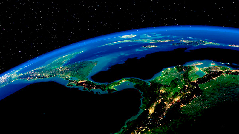
![Living maps can help us understand our changing world—and take action]()
Living maps can help us understand our changing world—and take action
Natural disasters are becoming stronger and more frequent. Thankfully, new technology is springing up to meet the challenge. (Partner Content)
-
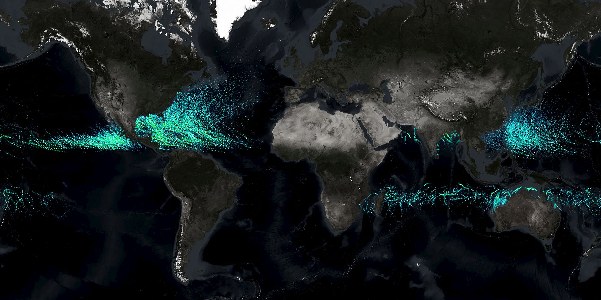
![As natural disasters become more frequent, dynamic location technology is more essential than ever]()
As natural disasters become more frequent, dynamic location technology is more essential than ever
For first responders, emergency planners and communities, geographic information system (GIS) technology is uniquely capable of aggregating the data needed to respond to disasters swiftly and recover from disasters with maximum resiliency.
-
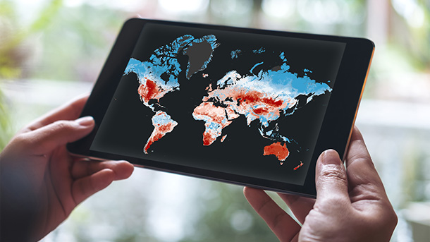
![Solutions start with where]()
Solutions start with where
Policymakers, researchers and scientists—and, often without realizing it, the general public—have turned to GIS technology to protect our economies, ensure equity and save lives.
-
![How maps are guiding solutions to the biodiversity crisis]()
How maps are guiding solutions to the biodiversity crisis
Effectively extending wildlife protections depends on knowing exactly where conservation is needed—and, importantly, how exactly to ensure that conservation is effective. (Partner Content)
-
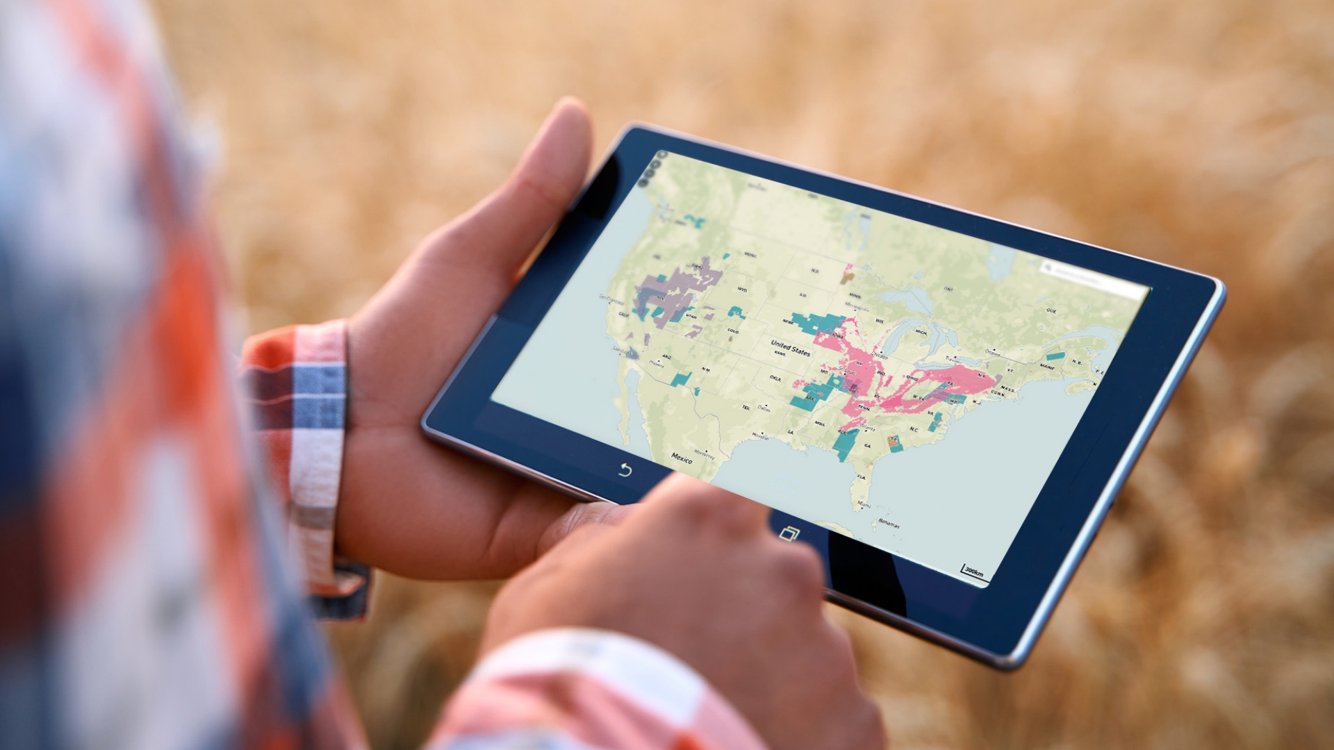
![The first step in upgrading American infrastructure? Make a map.]()
The first step in upgrading American infrastructure? Make a map.
By identifying where to prioritize billions in new infrastructure funding, GIS mapping helps officials and the private sector make decisions, find efficiencies and reduce costs By WP Creative Group With a whopping new $600 billion in funding for roads, bridges,…
-
![The hero we’ve been waiting
for is actually a map]()
The hero we’ve been waiting for is actually a map
A geographic information system (GIS) distills complex data into digestible maps, empowering decision makers to address issues from climate impacts to landmine clearance to retail strategy. By WP Creative Group From hand-inked parchments to wayfinding apps, maps have helped us…